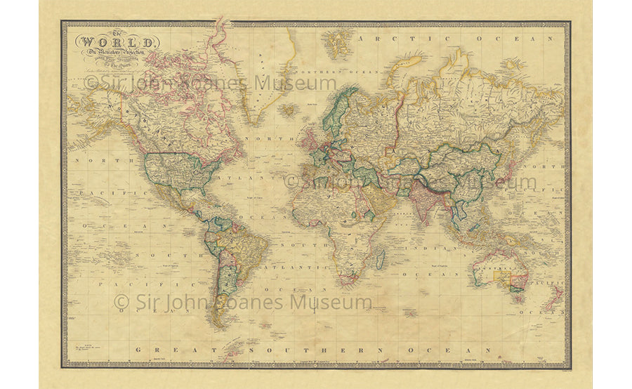
Map of the World in 1861
Regular price £45.00
This folding map is laid on to high-quality cloth and beautifully presented in an antique marbled slip case. They are individually handmade in Buckinghamshire in the family-run workshop of craftsman Phillip Burrough. They are made using pigment ink, archival paper and hand-laid on to cloth. Even the glue used is made from an old recipe. Published by James Wyld circa 1861 this is a map of the World on Mercator's projection circa 1861. The map predates the purchase from Russia of Alaska for 7.2 million in 1867. The interior of Africa is mostly unknown to European map makers as are the Arctic and Antarctic regions. Similarly the Australian interior is uncharted. Folding maps came into being in the mid-18th century when turnpike roads became extensive and good enough to make long-distance travel easier.
Dimensions: 33 x 23 inches.
Shipping times: Due to the nature of the museum we can only ship orders from Tuesday to Fridays. Orders are sent out the next working day via UK First Class.
Delivery to the rest of the world is Standard Shipping and will have different expected arrival dates. Please feel free to contact us if you have any questions regarding expected arrival dates.
Related products
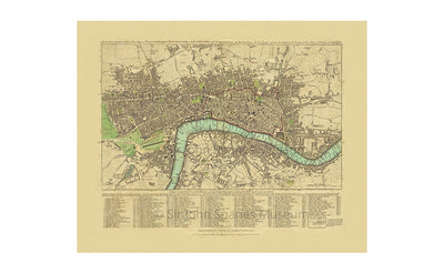
London Directory Map 1792
£25.00 excl. shipping
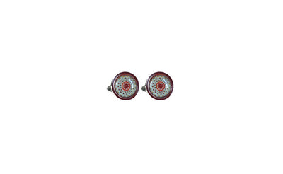
Adam Burnt Orange Cufflinks
£30.00 excl. shipping
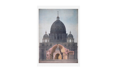
St Peter's and the Pantheon Rome Greeting Card
£3.50 excl. shipping
St Paul's & St Peter's Greeting Card
£3.50 excl. shipping
