Twelve Miles Around London 1826 Map


Regular price £50.00
This folding map is laid on to high-quality cloth and beautifully presented in an antique marbled slip case. They are individually handmade in Buckinghamshire in the family-run workshop of craftsman Phillip Burrough. They are made using pigment ink, archival paper and hand-laid on to cloth. Even the glue used is made from an old recipe. Cruchley's Twelve Miles Round London.
Taken from the original antique copper engraved map or plan published in circa 1826 by G F Cruchley. Of 38 Ludgate Street. It extends from Southall in the west to Dagenham in the east and Waltham Abbey in the north to Croyden in the south. The principal parks and gentleman's seats or coloured in green. George Frederick Cruchley (1796 - 1880) was a map publisher in the middle part of the 19th century, setting up his business in the early 1820's. His maps were clear and well engraved and he was very successful throughout his business career, finally selling his stock in 1877, three years before his death. Folding maps came into being in the mid-18th century when turnpike roads became extensive and good enough to make long-distance travel easier.
Dimensions: 27 x 27 inches.
Shipping times: Due to the nature of the museum we can only ship orders from Tuesday to Fridays. Orders are sent out the next working day via UK First Class. Delivery to the rest of the world is Standard Shipping and will have different expected arrival dates. Please feel free to contact us if you have any questions regarding expected arrival dates.
Related products
Sold Out
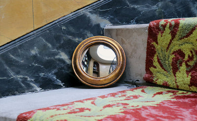
Gold Convex Mirror 14cm
Sold Out
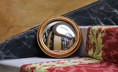
Gold Convex Mirror 23cm
£32.00 excl. shipping
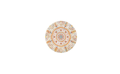
Harewood House Pocket Mirror
£4.95 excl. shipping
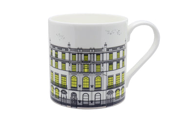
The Facade Mug
£16.00 excl. shipping
