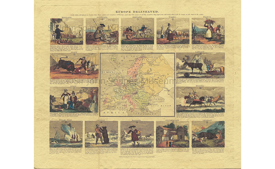
Delineated Map of Europe 1820
Regular price £45.00
Individually handmade made by British company Old Folding Maps, in the family-run workshop of craftsman Phillip Burrough, this map is laid on high-quality cloth and beautifully presented in an antique marbled slip case.
This children's map of Europe has around the margins 14 illustrations with brief descriptions of each country and it's inhabitants, often in national dress. It seems to be a geographical game for children. It was published by John Betts in circa 1820.
Folding maps came into being in the mid-18th century when turnpike roads became extensive and good enough to make long-distance travel easier.
Dimensions 30x24 inches.
Shipping times: Due to the nature of the museum we can only ship orders from Tuesday to Fridays. Orders are sent out the next working day via UK First Class. Delivery to the rest of the world is Standard Shipping and will have different expected arrival dates. Please feel free to contact us if you have any questions regarding expected arrival dates.
Related products
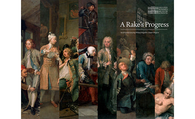
'The Rake's Progress' by William Hogarth Set of Eight Prints
£40.00 excl. shipping
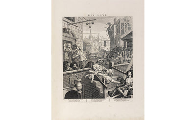
'Gin Lane' William Hogarth Print
£8.00 excl. shipping
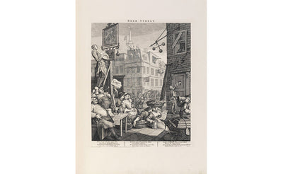
Beer Street Hogarth Print
£8.00 excl. shipping
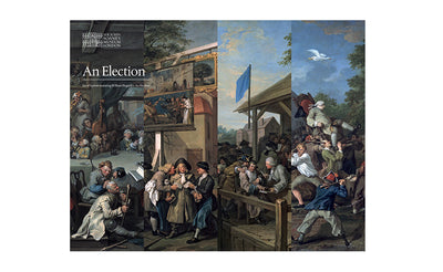
'An Election' Series by William Hogarth
£20.00 excl. shipping
