
London General View 1784
Delivery Information
Additional Information
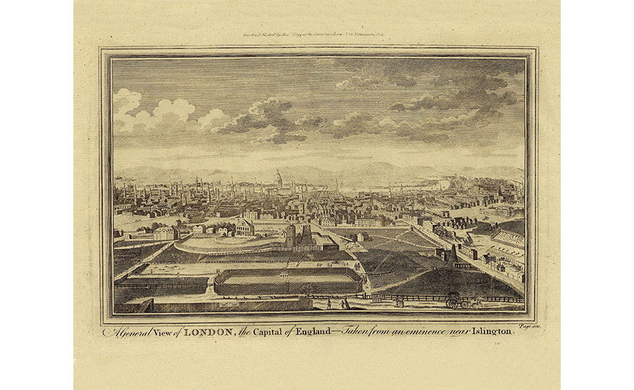
This folding map is laid on to high-quality cloth and beautifully presented in an antique marbled slip case. They are individually handmade in Buckinghamshire in the family-run workshop of craftsman Phillip Burrough. They are made using pigment ink, archival paper and hand-laid on to cloth. Even the glue used is made from an old recipe. A general view of London, the Capital of England, taken from an eminence near Islington circa 1784. This view of London by Alexander Hogg in 1784. It is taken from a site near Islington, then just a village in the country, and takes in most of London with the Tower to the left and Westminster to the right. Folding maps came into being in the mid-18th century when turnpike roads became extensive and good enough to make long-distance travel easier.
Dimensions: 16x20 inches.
Shipping times: Due to the nature of the museum we can only ship orders from Tuesday to Fridays. Orders are sent out the next working day via UK First Class. Delivery to the rest of the world is Standard Shipping and will have different expected arrival dates. Please feel free to contact us if you have any questions regarding expected arrival dates.
